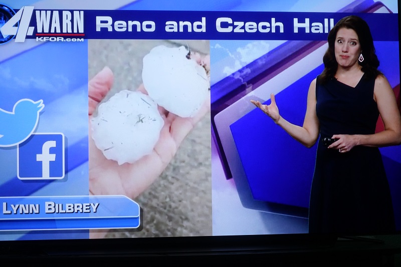
Tuesday evening in central Oklahoma was a rough time for menacing mesocyclones to act up. They were notable for being large hail producers. In at least one case, hail was big enough to crash through a car rear window. Fortunately, my location stayed out of the powerful core parts of the storms and so hail here was only pea size with .16" rain. Some storms threatened to do worse. In at least one instance, a hook echo formed on radar in a matter of minutes near Guthrie and had meteorologists alarmed for a while. Fortunately, no tornadoes touched down in central Oklahoma.
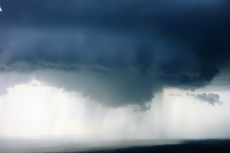
Pictured is KFOR meteorologist Emily Sutton showing a picture of how big the hail was, and KWTV-9's copter photo of how the hook looked from it. It was quite an ominous looking, well knuckled wall cloud. It was at the time 35 miles southwest of me, fortunately not headed in my direction.