Haven't had a lot of opportunities to take pics lately of any weather but we managed to have some severe warned storms come through the other day. Something had to give with the heat index temps have been way over 110 for a couple weeks so it was a matter of time. It looked like at first everything was going to miss us just to the north but then the line kind of slowed then built south right over head. I was at work, so I wasn't mobile. Here are a few pics anyway.
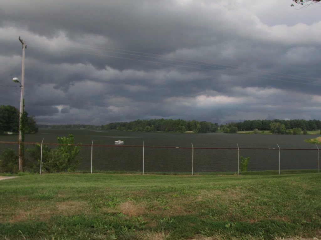
This was all just forming over head. This shot is looking north towards what was the severe warned storm, but it built up so fast over heard the storm to the north quickly became blocked.
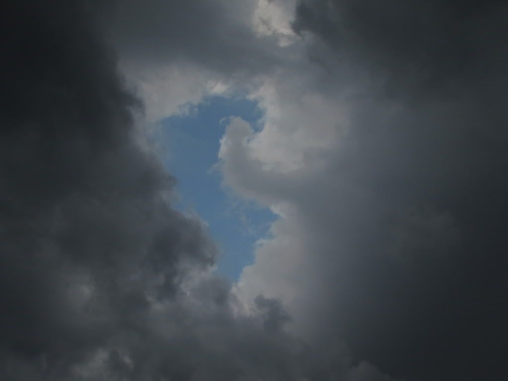
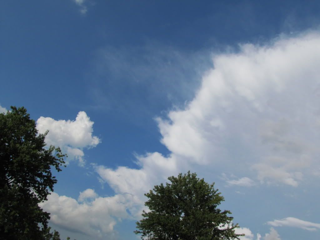
Over head things were building up fast, I managed to catch the last bit of blue sky.
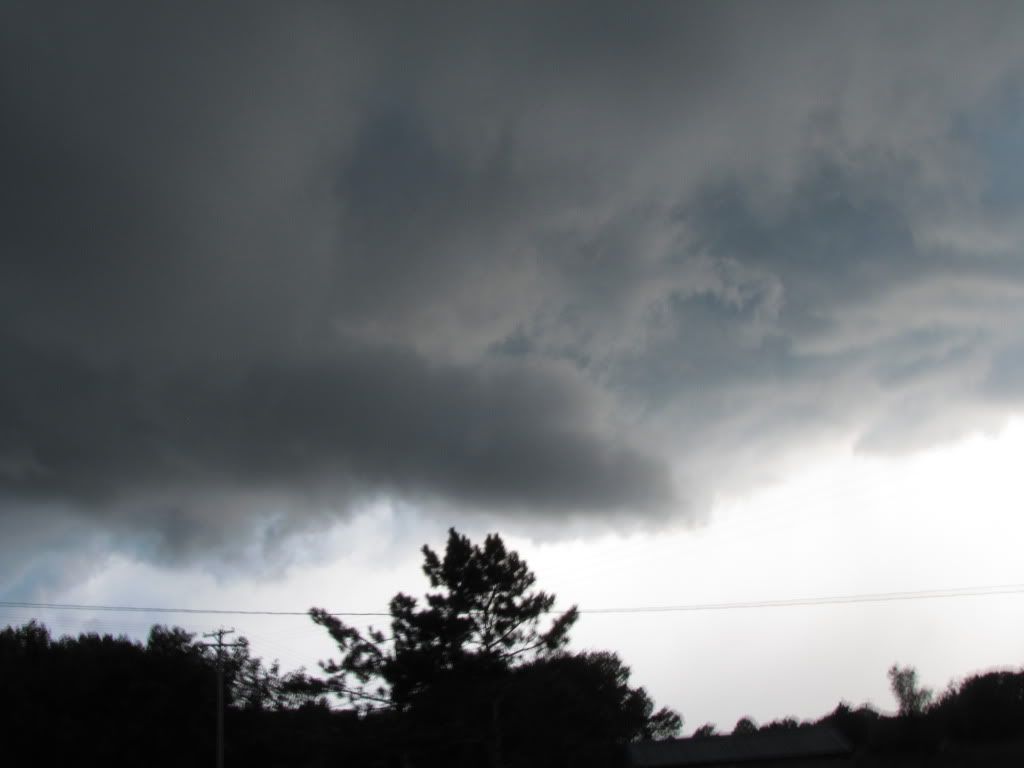
Here is the inflow tail, the inflow was racing in, it was pretty impressive and it wasn't long before this storm was also severe warned.
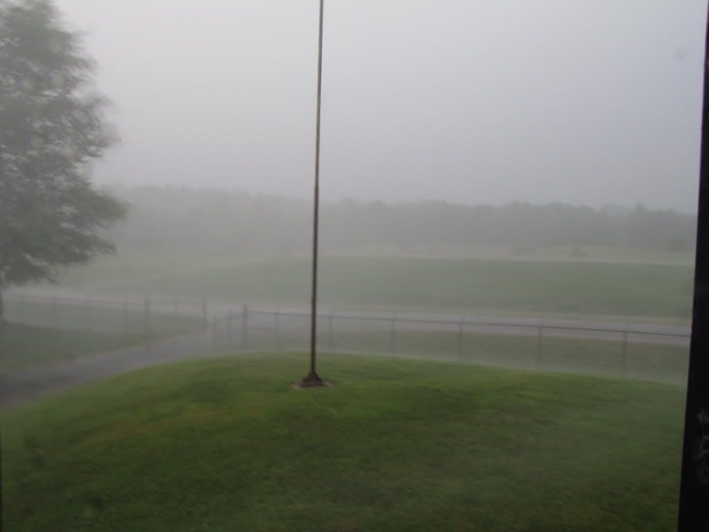
Then all hell broke lose. Of course stills don't do this justice. I took shelter inside so I'm looking south east now. We ended up with about 1.10 inches of rain in 30 minutes, all of which came down sideways. I managed to step outside for a quick wind reading on my kestral portable anemometer and got a 43mph reading. I went back inside and the real wind kicked up. lol some pretty substantial limbs went down. I'd say we had gusts 60+mph.
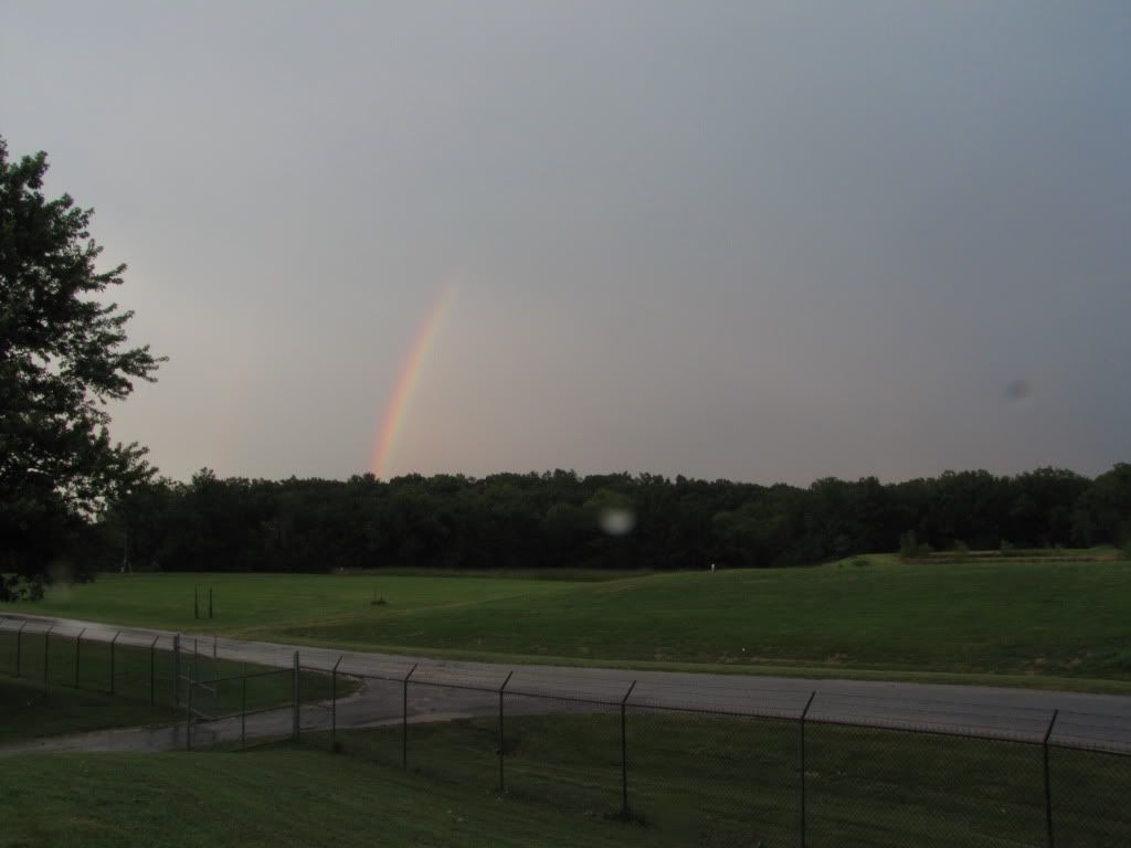
After the storm passed there was a nice rainbow.
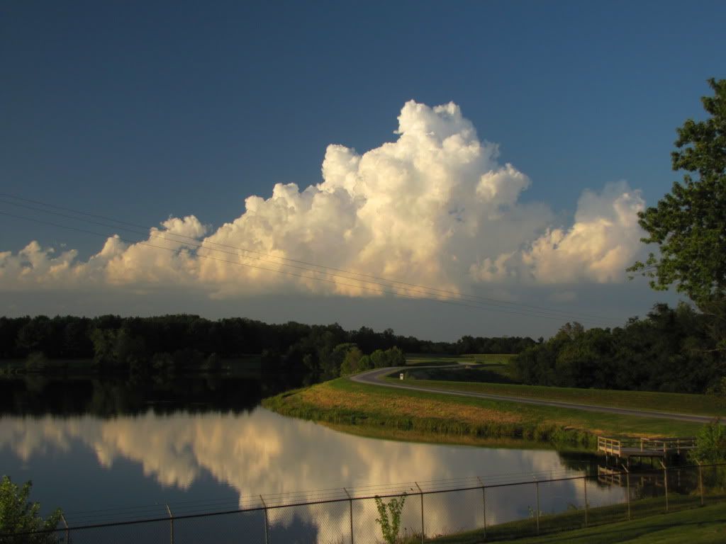
Then I was able to take this which I thought was kind of a nice shot.
and one more
I know nothing special like tornadoes, lightning, or hail, but the storm caught me by surprise as I thought it was going to be a dud and boy did it prove me wrong.


