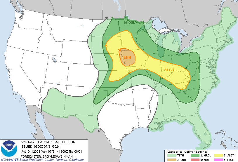
The latest forecast is for some interesting weather to take place across the Mid-Atlantic tomorrow afternoon and evening along a stationary front with sfc low pressure system riding along it. The potential for super cells and lines with bowing segments is possible but the Mid- Atlantic area will be split into three sections and we will break that down. Funny thing about tomorrows threat is if we combined the best dynamics for each area we would see the potential for a descent severe weather outbreak.
New York-Northern PA-Northern NJ:
Severe Weather Expected (Very Low Risk)- Gusty winds and possible flooding.
PHL metro area:
Severe Threat Expected (Slight Risk)- Damaging winds and flooding....isolated tornado.
DCA southward:
Severe Threat Expected (Slight Risk-moderate risk)- Not a moderate risk but definitely a little bit more then slight so will side in between. Potential for tornadoes, small hail, and damaging winds.
Here's the latest outlook:

More detailed outlook
HERE